Event JSON
{
"id": "f7e435ea734a48a76f77aceccf7428e29353a1ad158cabaced4ba74846d1b48a",
"pubkey": "59853d2277269e06b8e4f643480834d8d693dbcd0654d04ed9be128f10f114dc",
"created_at": 1744460225,
"kind": 1,
"tags": [
[
"t",
"sealevelrise"
],
[
"imeta",
"url https://files.mastodon.social/media_attachments/files/114/324/935/468/614/002/original/401b702cf89e6dc9.webp",
"m image/webp"
],
[
"t",
"flood"
],
[
"t",
"coast"
],
[
"t",
"hurricane"
],
[
"t",
"climatechange"
],
[
"proxy",
"https://mastodon.social/@ebender00/114324945334579259",
"web"
],
[
"t",
"massachusetts"
],
[
"proxy",
"https://mastodon.social/users/ebender00/statuses/114324945334579259",
"activitypub"
],
[
"L",
"pink.momostr"
],
[
"l",
"pink.momostr.activitypub:https://mastodon.social/users/ebender00/statuses/114324945334579259",
"pink.momostr"
],
[
"-"
]
],
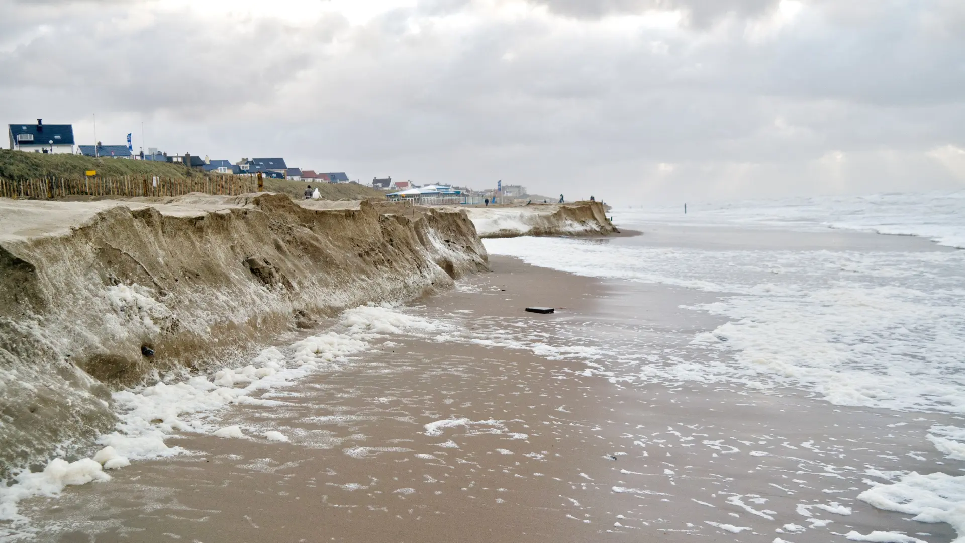
"content": "FEMA quietly removes access to New England coastal erosion hazard tool\n\nPlanners and resilience experts say long-term erosion maps had been critical \n\nhttps://commonwealthbeacon.org/environment/fema-quietly-removes-access-to-new-england-coastal-erosion-hazard-tool/\n\nThe Coastal Erosion Hazard viewer on the Federal Emergency Management Agency website \"predicted erosion risk across the coast for the years 2030, 2050, and 2100, and until recently was publicly accessible.\"\n\n#climatechange #sealevelrise #coast #hurricane #flood #massachusetts\nhttps://files.mastodon.social/media_attachments/files/114/324/935/468/614/002/original/401b702cf89e6dc9.webp\n",
"sig": "5be3cb43220edfdebc6b6eee64b6e434f12fb6044ac2496b8e130cdcea9ac6718465394d7d5384c17e88fcebe6567f5193edefaf996dd5a2857808d59ad9314b"
}